CommandView™: the unified operational picture.
Live video, tactical mapping, and sensor fusion in one purpose-built application for public safety.
Live Video
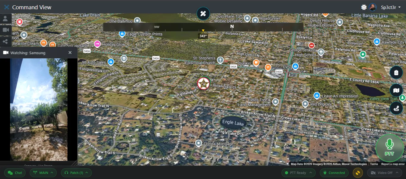
CommandView™ delivers sub-second WebRTC streaming of video & audio to modern web browsers, native iOS and Android applications.
Tactical Map
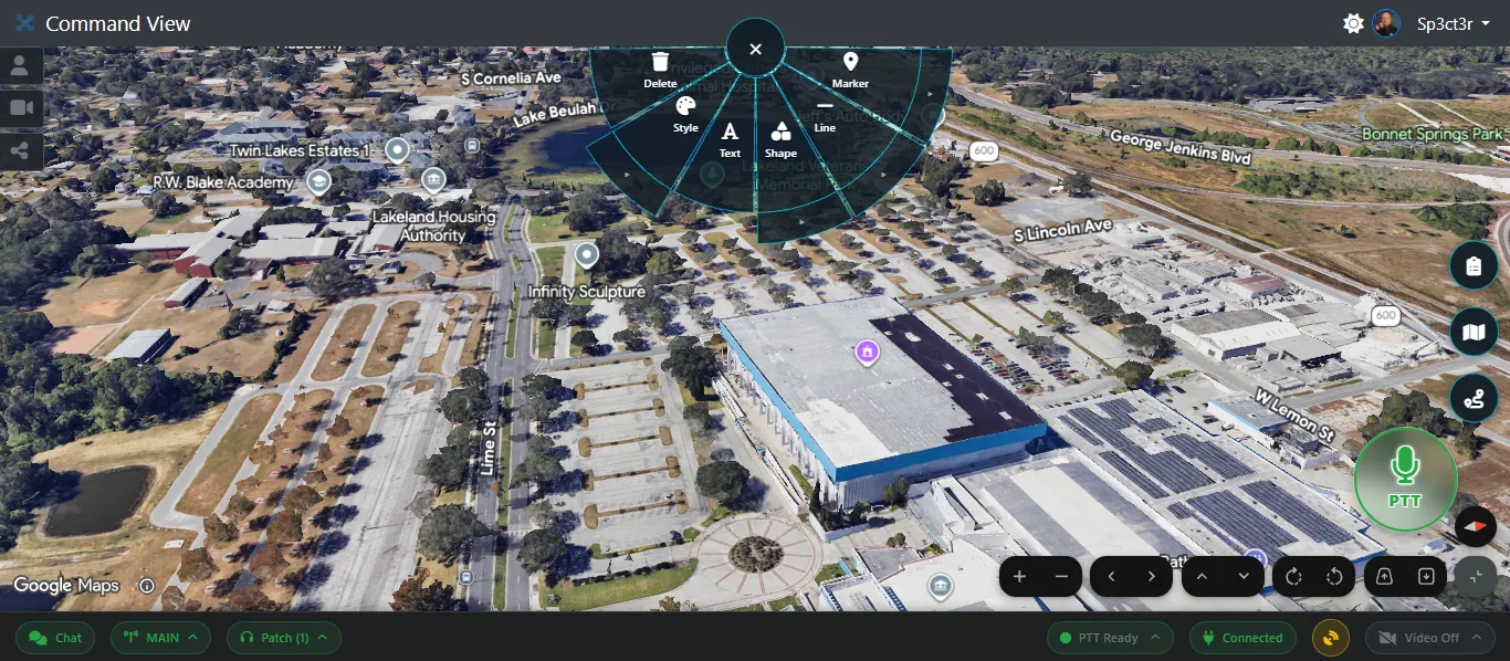
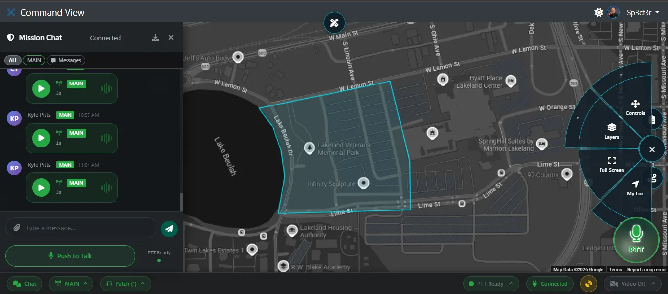
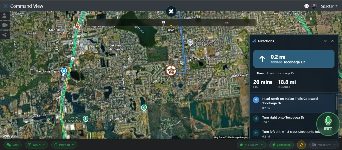
Multiple mapping options to meet every need and budget including premium Google Maps. Default overlays include ADS-B aircraft tracking, and 360° immersive spheres at points of interest and weather radar.
Sensor Fusion
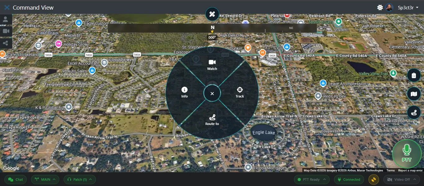
TAK Cursor-on-Target ingest, MISB ST 0601 KLV metadata, sensor footprint cones, and SPI markers are merged with drone telemetry into one operational picture. Battery and flight time are joined from telemetry where KLV does not provide them.
Mobile Apps
Native iOS and Android applications wrap the CommandView™ interface with native push notifications (direct APNs and FCM), push-to-talk audio playback, and background reconnect to keep responders connected on patrol.
Compliance
CommandView™ is hosted on AWS GovCloud and aligned to CJIS Security Policy v6.0. Mission-scoped access control lists keep intelligence with the originating agency. Audit logging covers authentication, data access, and configuration changes.
From drone to operator in under a second.
Drones publish H.265 video and telemetry over RTSP and TAK. CommandView™ ingests, relays, and fuses these streams in a custom Go WebRTC relay, then delivers a synchronized operational picture — video, map, and sensor data — to operators on web and mobile.